戴德姆 (马萨诸塞州)的类别
Auto Parts StoreBrake ShopCar Detailing ServiceCar Repair and MaintenanceGas StationMechanicOil Change ServiceTire Shop二手車經銷商新車經銷商汽車玻璃汽車租賃汽車維修車身維修Building Materials SupplierCommercial PrinterContact Lenses SupplierElectronic Parts SupplierElectronics WholesalerGarage Door SupplierHeating Oil SupplierSecurity System Supplier批發商Baby Clothing StoreBoot StoreBoutiqueDress StoreDry CleanerFashion Accessories StoreJeans ShopLingerie StoreSportswear StoreSwimwear StoreT-shirt StoreWork Clothes Store兒童和嬰兒服裝女裝新娘商店服裝店珠寶店和手錶男裝鞋店Telecommunications Service ProviderTelephone CompanyTelevision Station手機店Assisted Living FacilityAssociation or OrganizationChild Care AgencyCity Government Office
顯示1-50,共408
…
產業領域
戴德姆 (马萨诸塞州)按行业的企业分布
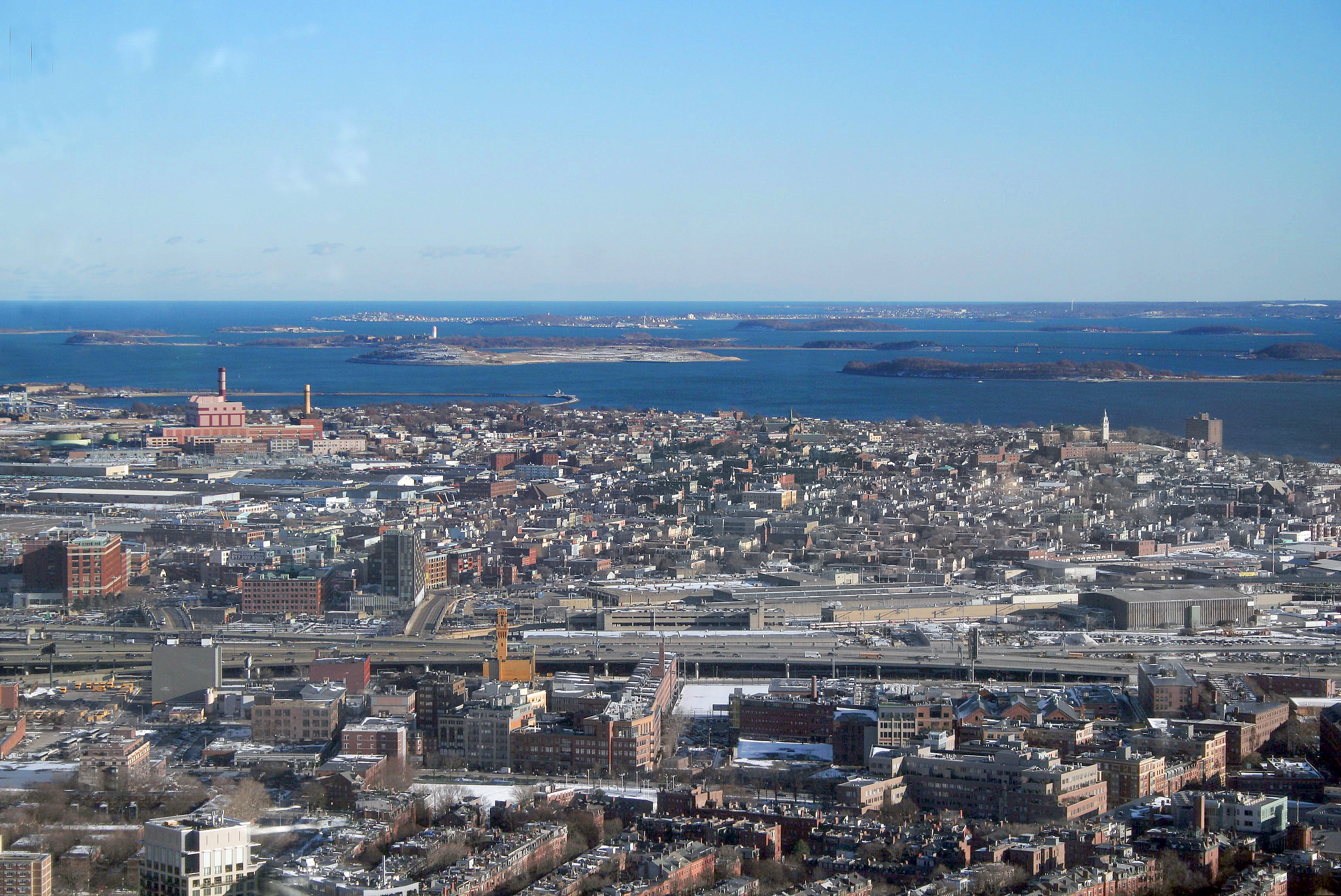
戴德姆 (马萨诸塞州)的地圖
互動地圖
戴德姆 (马萨诸塞州)的人口
1975年至2020年
| Data | 1975 | 1990 | 2000 | 2015 | 2020 |
|---|---|---|---|---|---|
| 人口 | 19,758 | 22,714 | 24,208 | 24,986 | 26,165 |
| 人口密度 | 1,839.9 / mi² | 2,115.2 / mi² | 2,254.3 / mi² | 2,326.8 / mi² | 2,436.6 / mi² |
来源: JRC (European Commission's Joint Research Centre) 工作于 GHS built-up grid
戴德姆 (马萨诸塞州)从2000年到2015年的人口变化
从2000年到2015年增长了3.2%
| 位置 | 自1975以来的变化 | 自1990以来的变化 | 自2000以来的变化 |
|---|---|---|---|
| 戴德姆 (马萨诸塞州) | +26.5% | +10% | +3.2% |
| 麻省 | +20% | +9.8% | +3.1% |
| 美國 | +46.9% | +27.2% | +13.7% |
来源: JRC (European Commission's Joint Research Centre) 工作于 GHS built-up grid
戴德姆 (马萨诸塞州)的中位年龄
中位年龄:43岁
| 位置 | 年齡中位數 | 中位年齡(女) | 中位年齡(男) |
|---|---|---|---|
| 戴德姆 (马萨诸塞州) | 43 yrs | 44.9 yrs | 41 yrs |
| 麻省 | 39.2 yrs | 40.6 yrs | 37.8 yrs |
| 美國 | 37.4 yrs | 38.7 yrs | 36.1 yrs |
来源: CIESIN (Center for International Earth Science Information Network)
戴德姆 (马萨诸塞州)的人口密度
人口密度:2,437 / mi²
| 位置 | 人口 | 區 | 密度 |
|---|---|---|---|
| 戴德姆 (马萨诸塞州) | 26,165 | 10.74 sq mi | 2,437 / mi² |
| 麻省 | 6.6 million | 10,554.4 sq mi | 624 / mi² |
| 美國 | 321.6 million | 3,796,740.8 sq mi | 84.7 / mi² |
来源: JRC (European Commission's Joint Research Centre) 工作于 GHS built-up grid
戴德姆 (马萨诸塞州)的历史和预测人口
从1780到2100的估计人口
来源:
- JRC (European Commission's Joint Research Centre) 工作于 GHS built-up grid
- CIESIN (Center for International Earth Science Information Network)
- [鏈接] Klein Goldewijk, K., Beusen, A., Doelman, J., and Stehfest, E.: Anthropogenic land use estimates for the Holocene – HYDE 3.2, Earth Syst. Sci. Data, 9, 927–953, https://doi.org/10.5194/essd-9-927-2017, 2017.
戴德姆 (马萨诸塞州)的街区
戴德姆 (马萨诸塞州)各街区企业占比
電話區號
戴德姆 (马萨诸塞州)的企業使用的區碼百分比
价格分布
戴德姆 (马萨诸塞州)企業(按價格分佈)
人類發展指數(HDI)
預期壽命,教育程度和人均收入的統計綜合指數。
来源: [鏈接] Kummu, M., Taka, M. &Guillaume, J. Gridded global datasets for Gross Domestic Product and Human Development Index over 1990–2015. Sci Data 5, 180004 (2018) doi:10.1038/sdata.2018.4
戴德姆 (马萨诸塞州)的CO2排放
每年人均二氧化碳(CO2)排放量(噸)
| 位置 | 二氧化碳排放量 | 人均二氧化碳排放量 | 二氧化碳排放強度 |
|---|---|---|---|
| 戴德姆 (马萨诸塞州) | 444,779 tn | 17 tn | 41,419.3 tons/mi² |
| 麻省 | 99,725,155 tn | 15.14 tn | 9,448.7 tons/mi² |
| 美國 | 5,664,619,810 tn | 17.62 tn | 1,492 tons/mi² |
来源: [鏈接] Moran, D., Kanemoto K; Jiborn, M., Wood, R., Többen, J., and Seto, K.C. (2018) Carbon footprints of 13,000 cities. Environmental Research Letters DOI: 10.1088/1748-9326/aac72a
戴德姆 (马萨诸塞州)的CO2排放
| 2013年CO2排放量(吨/年) | 444,779 tn |
| 2013年人均CO2排放量(吨/年) | 17 tn |
| 2013年CO2排放强度(吨/mi²/年) | 41,419.3 tons/mi² |
自然災害風險
Relative risk out of 10
| 危险 | Risk Level |
|---|---|
| Flood | High (8) |
| Earthquake | Low (2) |
| Cyclone | High (8) |
* Risk, particularly concerning flood or landslide, may not be for the entire area.
来源:
- Dilley, M., R.S. Chen, U. Deichmann, A.L. Lerner-Lam, M. Arnold, J. Agwe, P. Buys, O. Kjekstad, B. Lyon, and G. Yetman. 2005. Natural Disaster Hotspots: A Global Risk Analysis. Washington, D.C.: World Bank. https://doi.org/10.1596/0-8213-5930-4.
- Center for Hazards and Risk Research - CHRR - Columbia University, Center for International Earth Science Information Network - CIESIN - Columbia University, International Bank for Reconstruction and Development - The World Bank, and United Nations Environment Programme Global Resource Information Database Geneva - UNEP/GRID-Geneva. 2005. Global Cyclone Hazard Frequency and Distribution. Palisades, NY: NASA Socioeconomic Data and Applications Center (SEDAC). https://doi.org/10.7927/H4CZ353K.
- Center for Hazards and Risk Research - CHRR - Columbia University, Center for International Earth Science Information Network - CIESIN - Columbia University. 2005. Global Flood Hazard Frequency and Distribution. Palisades, NY: NASA Socioeconomic Data and Applications Center (SEDAC). https://doi.org/10.7927/H4668B3D.
- Center for Hazards and Risk Research - CHRR - Columbia University, Center for International Earth Science Information Network - CIESIN - Columbia University. 2005. Global Earthquake Hazard Distribution - Peak Ground Acceleration. Palisades, NY: NASA Socioeconomic Data and Applications Center (SEDAC). https://doi.org/10.7927/H4BZ63ZS.
最近的附近地震
幅度3.0以上
| 日▼ | 時間↕ | Magnitude↕ | Distance↕ | 深度↕ | 位置↕ | 鏈接 |
|---|---|---|---|---|---|---|
| 1/12/15 | 11:36 AM | 3.3 | 82 km | 5,400 m | 0km NE of Wauregan, Connecticut | usgs.gov |
| 1/27/00 | 2:49 PM | 3 | 84.2 km | 1,400 m | New Hampshire | usgs.gov |
| 1/10/99 | 3:20 PM | 3 | 67.9 km | 2,100 m | southern New England | usgs.gov |
| 1/10/99 | 10:52 AM | 3.1 | 68.2 km | 2,000 m | southern New England | usgs.gov |
| 3/22/96 | 8:22 PM | 3.1 | 61.6 km | 11,900 m | southern New England | usgs.gov |
| 10/2/94 | 2:36 PM | 3.3 | 87.7 km | 10,000 m | southern New England | usgs.gov |
| 10/2/94 | 11:27 AM | 3.7 | 92.4 km | 10,000 m | southern New England | usgs.gov |
| 8/24/89 | 3:56 PM | 3 | 73.2 km | 5,000 m | southern New England | usgs.gov |
| 10/15/85 | 8:00 PM | 3 | 39.3 km | 2,000 m | southern New England | usgs.gov |
| 1/27/82 | 6:50 PM | 3 | 44.4 km | 2,000 m | southern New England | usgs.gov |


關於我們的數據
本页面上的数据是使用许多公开可用的工具和资源估算的。它不附带任何担保,可能包含不准确之处。使用风险自负。