Anson的类别
Gas Station汽車維修農業服裝店County Government OfficeMailing ServiceSocial Services Organization教會ContractorInterior Construction ContractorResidential BuildingEntertainment ProviderPhotographer墨西哥餐廳速食店雜貨店和超市餐廳Insurance AgencyMoney Transfer ServiceTax Preparation Service銀行非同步傳輸模式CemeteryFamily Practice PhysicianHair Salon美容院Services for IndustryReal Estate Agency RV公園Discount Store便利店貨代
產業領域
Anson按行业的企业分布
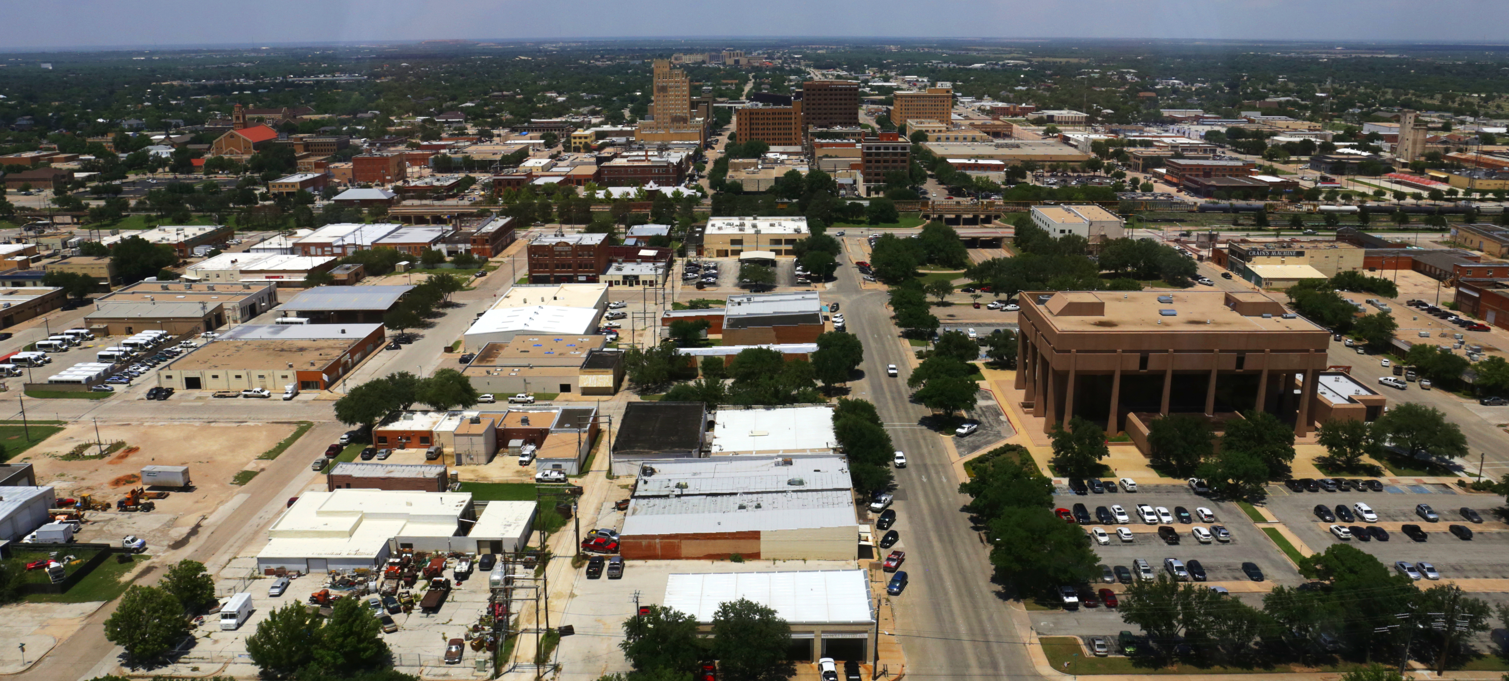
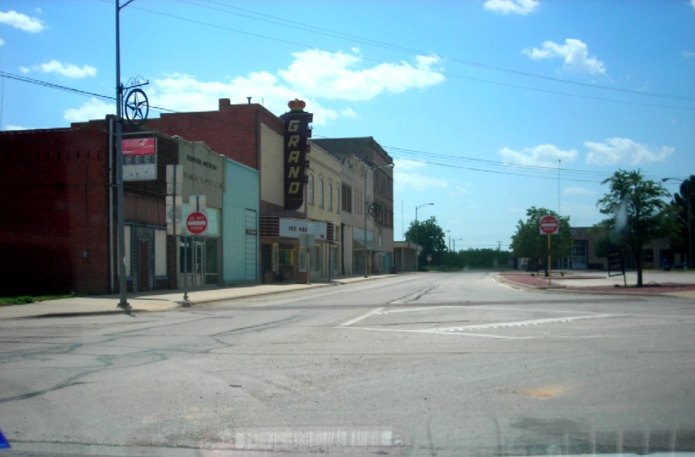
Anson的地圖
互動地圖
Anson的人口
1975年至2020年
| Data | 1975 | 1990 | 2000 | 2015 | 2020 |
|---|---|---|---|---|---|
| 人口 | 1,028 | 2,068 | 2,514 | 2,369 | 2,394 |
| 人口密度 | 370.4 / mi² | 745.2 / mi² | 905.9 / mi² | 853.7 / mi² | 862.7 / mi² |
来源: JRC (European Commission's Joint Research Centre) 工作于 GHS built-up grid
Anson从2000年到2015年的人口变化
从2000年到2015年下降了5.8%
| 位置 | 自1975以来的变化 | 自1990以来的变化 | 自2000以来的变化 |
|---|---|---|---|
| Anson | +130.4% | +14.6% | -5.8% |
| 德薩斯州 | +111% | +60.8% | +31.3% |
| 美國 | +46.9% | +27.2% | +13.7% |
来源: JRC (European Commission's Joint Research Centre) 工作于 GHS built-up grid
Anson的中位年龄
中位年龄:37.1岁
| 位置 | 年齡中位數 | 中位年齡(女) | 中位年齡(男) |
|---|---|---|---|
| Anson | 37.1 yrs | 39.3 yrs | 34.5 yrs |
| 德薩斯州 | 33.8 yrs | 34.8 yrs | 32.8 yrs |
| 美國 | 37.4 yrs | 38.7 yrs | 36.1 yrs |
来源: CIESIN (Center for International Earth Science Information Network)
Anson的人口密度
人口密度:863 / mi²
| 位置 | 人口 | 區 | 密度 |
|---|---|---|---|
| Anson | 2,394 | 2.775 sq mi | 863 / mi² |
| 德薩斯州 | 27.5 million | 268,596.2 sq mi | 103 / mi² |
| 美國 | 321.6 million | 3,796,740.8 sq mi | 84.7 / mi² |
来源: JRC (European Commission's Joint Research Centre) 工作于 GHS built-up grid
Anson的历史和预测人口
从1860到2100的估计人口
来源:
- JRC (European Commission's Joint Research Centre) 工作于 GHS built-up grid
- CIESIN (Center for International Earth Science Information Network)
- [鏈接] Klein Goldewijk, K., Beusen, A., Doelman, J., and Stehfest, E.: Anthropogenic land use estimates for the Holocene – HYDE 3.2, Earth Syst. Sci. Data, 9, 927–953, https://doi.org/10.5194/essd-9-927-2017, 2017.
价格分布
Anson企業(按價格分佈)
人類發展指數(HDI)
預期壽命,教育程度和人均收入的統計綜合指數。
来源: [鏈接] Kummu, M., Taka, M. &Guillaume, J. Gridded global datasets for Gross Domestic Product and Human Development Index over 1990–2015. Sci Data 5, 180004 (2018) doi:10.1038/sdata.2018.4
Anson的CO2排放
每年人均二氧化碳(CO2)排放量(噸)
| 位置 | 二氧化碳排放量 | 人均二氧化碳排放量 | 二氧化碳排放強度 |
|---|---|---|---|
| Anson | 40,267 tn | 16.82 tn | 14,510.1 tons/mi² |
| 德薩斯州 | 488,896,034 tn | 17.76 tn | 1,820.2 tons/mi² |
| 美國 | 5,664,619,810 tn | 17.62 tn | 1,492 tons/mi² |
来源: [鏈接] Moran, D., Kanemoto K; Jiborn, M., Wood, R., Többen, J., and Seto, K.C. (2018) Carbon footprints of 13,000 cities. Environmental Research Letters DOI: 10.1088/1748-9326/aac72a
Anson的CO2排放
| 2013年CO2排放量(吨/年) | 40,267 tn |
| 2013年人均CO2排放量(吨/年) | 16.82 tn |
| 2013年CO2排放强度(吨/mi²/年) | 14,510.1 tons/mi² |
自然災害風險
Relative risk out of 10
| 危险 | Risk Level |
|---|---|
| Flood | High (8) |
* Risk, particularly concerning flood or landslide, may not be for the entire area.
来源:
- Dilley, M., R.S. Chen, U. Deichmann, A.L. Lerner-Lam, M. Arnold, J. Agwe, P. Buys, O. Kjekstad, B. Lyon, and G. Yetman. 2005. Natural Disaster Hotspots: A Global Risk Analysis. Washington, D.C.: World Bank. https://doi.org/10.1596/0-8213-5930-4.
- Center for Hazards and Risk Research - CHRR - Columbia University, Center for International Earth Science Information Network - CIESIN - Columbia University. 2005. Global Flood Hazard Frequency and Distribution. Palisades, NY: NASA Socioeconomic Data and Applications Center (SEDAC). https://doi.org/10.7927/H4668B3D.
最近的附近地震
幅度3.0以上
| 日▼ | 時間↕ | Magnitude↕ | Distance↕ | 深度↕ | 位置↕ | 鏈接 |
|---|---|---|---|---|---|---|
| 12/26/18 | 4:23 AM | 3.3 | 97.3 km | 1,150 m | 26km N of Snyder, Texas | usgs.gov |
| 10/31/18 | 11:50 PM | 3 | 96.6 km | 5,000 m | 18km N of Snyder, Texas | usgs.gov |
| 10/28/18 | 2:21 PM | 3.1 | 96 km | 4,870 m | 20km N of Snyder, Texas | usgs.gov |
| 1/17/16 | 9:32 AM | 3.5 | 91.3 km | 2,060 m | 17km NNE of Snyder, Texas | usgs.gov |
| 1/10/16 | 2:03 AM | 3.6 | 90.2 km | 2,700 m | 25km NNE of Snyder, Texas | usgs.gov |
| 1/6/15 | 9:55 PM | 3.5 | 91.5 km | 3,950 m | 17km NNE of Snyder, Texas | usgs.gov |
| 12/31/14 | 6:31 PM | 3.2 | 90.9 km | 5,000 m | 26km NNE of Snyder, Texas | usgs.gov |
| 9/14/14 | 9:18 AM | 3.2 | 88 km | 3,090 m | 23km NNE of Snyder, Texas | usgs.gov |
| 5/14/14 | 3:52 PM | 3.1 | 92.2 km | 4,540 m | 7km NNE of Snyder, Texas | usgs.gov |
| 5/6/13 | 11:11 PM | 3 | 92 km | 5,600 m | 25km N of Snyder, Texas | usgs.gov |

關於我們的數據
本页面上的数据是使用许多公开可用的工具和资源估算的。它不附带任何担保,可能包含不准确之处。使用风险自负。